
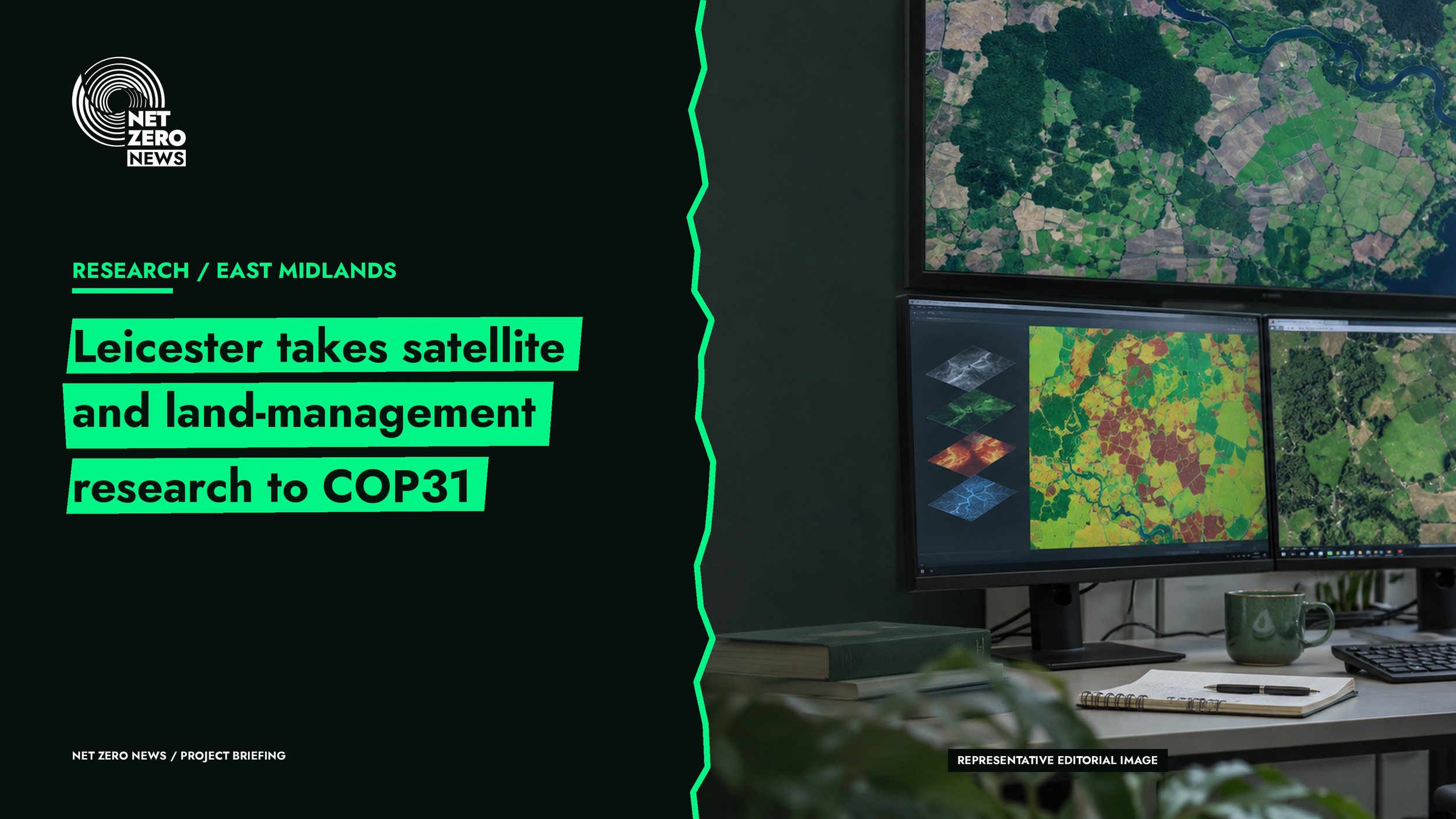
University of Leicester researchers plan to present work on climate evidence and land management at COP31, according to the university’s 4th November 2026 announcement.
Current position
The briefing describes planned contributions on satellite observations, environmental digital twins, green finance and resilience. The summit is scheduled for 9th to 20th November in Antalya. These are forthcoming research and engagement activities, rather than completed projects or new infrastructure awards.
Why this matters
For UK project teams, the useful question is how climate information becomes a decision that people can act on. The university’s work includes communicating Earth observation data to farmers, with case studies in Kenya and the Fens. This is an opportunity to follow emerging evidence, not proof that a particular digital tool will deliver local savings.
Next steps
Look for published findings and demonstrable results after the summit. Any application to UK public estates or housing should be assessed against local needs, costs and data quality.
Primary source: University of Leicester, 4th November 2026.